


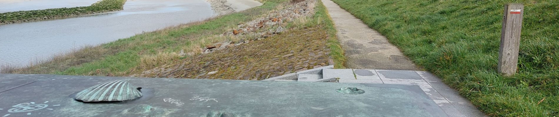
GR_34_AA_01_Mt-St-Michel_St-Marcan_20230318

patrickdanilo
User
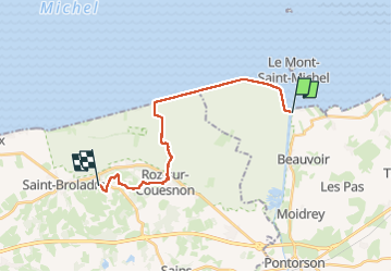

Length
16.7 km

Max alt
84 m

Uphill gradient
162 m
Km-Effort
18.7 km

Min alt
3 m

Downhill gradient
110 m
Boucle
No
Creation date :
2023-03-18 10:10:48.302
Updated on :
2023-03-22 09:47:31.51
4h01
Difficulty : Very easy

FREE GPS app for hiking
 SityTrail
IGN / Geographical institutes
SityTrail Plus
The world is yours!
About
Trail Walking of 16.7 km to be discovered at Normandy, Manche, Le Mont-Saint-Michel. This trail is proposed by patrickdanilo.
Description
Randonnée Marche de 17 km à découvrir à Normandie, Manche, Le Mont-Saint-Michel. Cette randonnée est proposée par patrickdanilo.
Photos


Positioning
Country:
France
Region :
Normandy
Department/Province :
Manche
Municipality :
Le Mont-Saint-Michel
Location:
Unknown
Start:(Dec)
Start:(UTM)
609710 ; 5386014 (30U) N.
Comments